Tally Lake Campground
11 mi west · USDA Forest Service
Tally Lake Campground is located on the northern shores of its namesake lake, west of Whitefish, Montana.
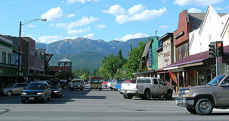
Outdoors
Lakes, reservoirs and rivers near Whitefish for boating, kayaking, canoeing and paddleboarding.
Good to know: Life jackets are required for children on most waters, and many lakes require an invasive-species inspection or a launch fee.
11 mi west · USDA Forest Service
Tally Lake Campground is located on the northern shores of its namesake lake, west of Whitefish, Montana.
14 mi northeast · USDA Forest Service
Big Creek Campground lies in the expansive Flathead National Forest in northwestern Montana, 2 miles south of the Northwest entrance to Glacier National Park.
17 mi southeast · Bureau of Reclamation
Hungry Horse Dam is on the South Fork of the Flathead River, 15 miles south of the west entrance to Glacier National Park and 20 miles northeast of Kalispell, Montana.
Map of 19 places loads as you scroll.
Tally Lake Campground is located on the northern shores of its namesake lake, west of Whitefish, Montana.
Big Creek Campground lies in the expansive Flathead National Forest in northwestern Montana, 2 miles south of the Northwest entrance to Glacier National Park.
Hungry Horse Dam is on the South Fork of the Flathead River, 15 miles south of the west entrance to Glacier National Park and 20 miles northeast of Kalispell, Montana.
Apgar Campground is situated on the southern tip of Lake McDonald in beautiful Glacier National Park in northwestern Montana. Pristine forests, alpine meadows, rugged mountains and spectacular lakes are found throughout the park.
Doris Creek Campground is located on the Hungry Horse Reservoir, high in the Rocky Mountains, west of the Continental Divide and just south of the Canadian border.
Emery Bay Campground is located on the Hungry Horse Reservoir, high in the Rocky Mountains, less than 30 miles from the Continental Divide, surrounded by towering mountain peaks.
Lost Johnny Point Campground is located on the Hungry Horse Reservoir, high in the Rocky Mountains, west of the Continental Divide and just south of the Canadian border.
Ben Rover Cabin is located 35 miles north of Columbia Falls, perched near the Wild and Scenic Flathead River.
Lid Creek Campground lies on the Hungry Horse Reservoir, in the heart of the Rocky Mountains, west of the Continental Divide and just south of the Canadian border.
Murray Bay Campground is located on the Hungry Horse Reservoir, high in the Rocky Mountains, less than 30 miles from the Continental Divide, surrounded by towering mountain peaks.
A showcase of melting glaciers, alpine meadows, carved valleys, and spectacular lakes. With over 700 miles of trails, Glacier is a paradise for adventurous visitors seeking a landscape steeped in human culture.
Libby Dam & Visitor Center is a great place to visit with family and friends. Located at 260 Souse Gulch Road, approximately 17 miles north of Libby, Montana, the Libby Dam Visitor Center is typically open from Memorial Day in the Spring…
Gibson Dam , the principal structure of the Sun River Project , is on the Sun River, 70 miles west of Great Falls, Montana. It is a concrete arch dam and contains 167,500 cubic yards of concrete.
Pishkun Dikes and Reservoir are part of the Sun River Project. The Reservoir is an offstream storage reservoir, about 15 miles northeast of Gibson Dam and is formed by 8 earthfill dikes with heights ranging from 12 to 50 feet and an…
.
Albeni Falls Dam sits on the Pend Oreille River. Behind the dam, the waters of the Pend Oreille stretch 65 miles through a glacially carved valley that separates three mountain ranges.
Willow Creek Dam , a part of the Sun River Project, is an earthfill structure on Willow Creek about 15 miles southeast of Gibson Dam.
The Lake is part of the Greenfields Division on the Sun River Project in central Montana, west of the city of Great Falls. Small recreation area with over 3,000 acres of land and 1,500 acres of water available for recreation.
This small, one-acre island on the northern end of Killarney Lake features boat access, vault toilets, one camp unit and one picnic unit.
Distances are straight-line miles from downtown Whitefish. Listings come from Recreation.gov’s federal recreation database; check each official page for hours, fees, fire restrictions and closures before you go.
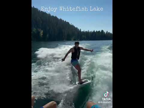
THINGS TO DO · YOUTUBE SHORT
A Whitefish-area travel Short shared by javbrod, including a side trip to Glacier National Park. The park is outside Whitefish.
Watch on YouTube ↗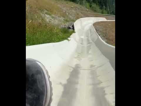
THINGS TO DO · YOUTUBE SHORT
A recorded alpine-slide visit at Whitefish Mountain Resort, shared by Best Life Adventure Channel. Check seasonal operation directly with the resort.
Watch on YouTube ↗Tally Lake Campground (USDA Forest Service), about 11 miles west of Whitefish as the crow flies. Next are Big Creek Campground (Flathead National Forest, MT) (14 mi) and Hungry Horse Reservoir (17 mi).
Based on Whitefish’s average highs, June–September. Conditions at higher elevations can be much cooler.
Federal agencies including USDA Forest Service, Bureau of Reclamation, National Park Service. Each listing links to its official page for hours, fees, closures and current conditions.