Hungry Horse Reservoir
17 mi southeast · Bureau of Reclamation
Hungry Horse Dam is on the South Fork of the Flathead River, 15 miles south of the west entrance to Glacier National Park and 20 miles northeast of Kalispell, Montana.
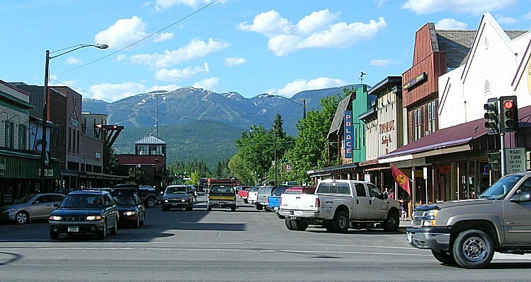
Outdoors
Day-use and picnic areas near Whitefish on public land, from quick drives to full-day outings.
Good to know: Group picnic sites can often be reserved; fire rules change with the season, so check before bringing a grill.
17 mi southeast · Bureau of Reclamation
Hungry Horse Dam is on the South Fork of the Flathead River, 15 miles south of the west entrance to Glacier National Park and 20 miles northeast of Kalispell, Montana.
18 mi northeast · National Park Service
Fish Creek Campground is the second largest campground in Glacier National Park. Glacier National Park, in northwestern Montana, is comprised of pristine forests, alpine meadows, rugged mountains and spectacular lakes.
19 mi southwest · USDA Forest Service
This is a very small campground with 2 sites, a vault toilet, picnic tables and fire rings. There is a walk down boat launching site for kayaks and canoes. Access road has sharp hairpin corner so RV's are not recommended.
Map of 13 places loads as you scroll.
Hungry Horse Dam is on the South Fork of the Flathead River, 15 miles south of the west entrance to Glacier National Park and 20 miles northeast of Kalispell, Montana.
Fish Creek Campground is the second largest campground in Glacier National Park. Glacier National Park, in northwestern Montana, is comprised of pristine forests, alpine meadows, rugged mountains and spectacular lakes.
This is a very small campground with 2 sites, a vault toilet, picnic tables and fire rings. There is a walk down boat launching site for kayaks and canoes. Access road has sharp hairpin corner so RV's are not recommended.
Sylvia Lake Campground has 3 designated campsites. Each site has a picnic table, firering and a vault toilet in the campground. There is a small boat ramp for fishing boats, canoes and kakaks.
Libby Dam & Visitor Center is a great place to visit with family and friends. Located at 260 Souse Gulch Road, approximately 17 miles north of Libby, Montana, the Libby Dam Visitor Center is typically open from Memorial Day in the Spring…
Gibson Dam , the principal structure of the Sun River Project , is on the Sun River, 70 miles west of Great Falls, Montana. It is a concrete arch dam and contains 167,500 cubic yards of concrete.
Pishkun Dikes and Reservoir are part of the Sun River Project. The Reservoir is an offstream storage reservoir, about 15 miles northeast of Gibson Dam and is formed by 8 earthfill dikes with heights ranging from 12 to 50 feet and an…
.
Albeni Falls Dam sits on the Pend Oreille River. Behind the dam, the waters of the Pend Oreille stretch 65 miles through a glacially carved valley that separates three mountain ranges.
Willow Creek Dam , a part of the Sun River Project, is an earthfill structure on Willow Creek about 15 miles southeast of Gibson Dam.
The Lake is part of the Greenfields Division on the Sun River Project in central Montana, west of the city of Great Falls. Small recreation area with over 3,000 acres of land and 1,500 acres of water available for recreation.
In Idaho, BLM manages over 17,000 acres of public lands in the Grandmother Wilderness Study Area. The terrain varies from heavily forested drainages to bare peaks and several high mountain lakes.
Distances are straight-line miles from downtown Whitefish. Listings come from Recreation.gov’s federal recreation database; check each official page for hours, fees, fire restrictions and closures before you go.
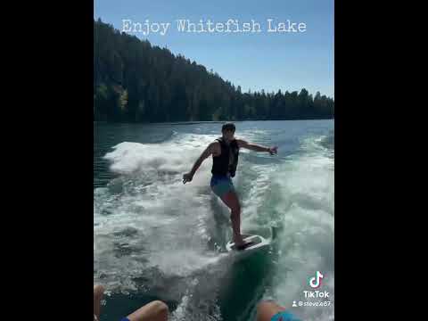
THINGS TO DO · YOUTUBE SHORT
A Whitefish-area travel Short shared by javbrod, including a side trip to Glacier National Park. The park is outside Whitefish.
Watch on YouTube ↗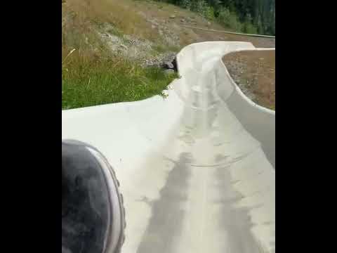
THINGS TO DO · YOUTUBE SHORT
A recorded alpine-slide visit at Whitefish Mountain Resort, shared by Best Life Adventure Channel. Check seasonal operation directly with the resort.
Watch on YouTube ↗Hungry Horse Reservoir (Bureau of Reclamation), about 17 miles southeast of Whitefish as the crow flies. Next are Fish Creek Campground (18 mi) and Ashley Lake South Campground (19 mi).
Based on Whitefish’s average highs, May–September. Conditions at higher elevations can be much cooler.
Federal agencies including Bureau of Reclamation, USDA Forest Service, US Army Corps of Engineers. Each listing links to its official page for hours, fees, closures and current conditions.