Tally Lake Campground
11 mi west · USDA Forest Service
Tally Lake Campground is located on the northern shores of its namesake lake, west of Whitefish, Montana.
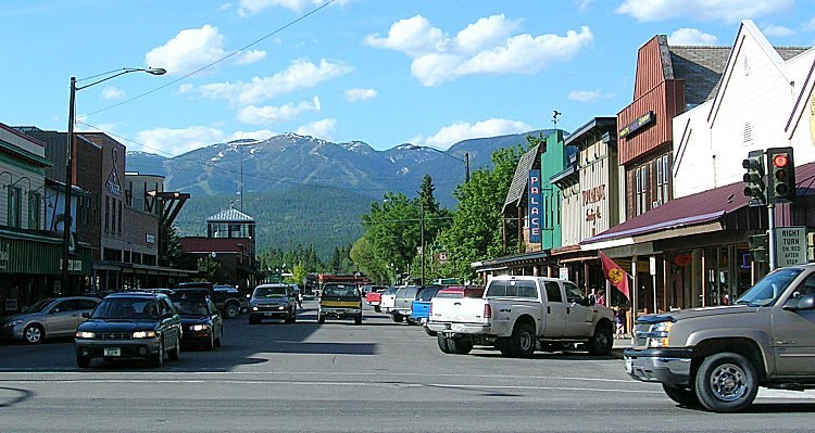
Outdoors
Refuges, lakes and wild areas near Whitefish for wildlife viewing and birdwatching.
Good to know: Early mornings and evenings are best for wildlife; bring binoculars and keep a respectful distance.
11 mi west · USDA Forest Service
Tally Lake Campground is located on the northern shores of its namesake lake, west of Whitefish, Montana.
14 mi northeast · USDA Forest Service
Big Creek Campground lies in the expansive Flathead National Forest in northwestern Montana, 2 miles south of the Northwest entrance to Glacier National Park.
17 mi west · USDA Forest Service
The Star Meadows Guard Station has all the rustic feel of a remote Forest Service cabin while still being accessible by paved road from Whitefish.
Map of 30 places loads as you scroll.
Tally Lake Campground is located on the northern shores of its namesake lake, west of Whitefish, Montana.
Big Creek Campground lies in the expansive Flathead National Forest in northwestern Montana, 2 miles south of the Northwest entrance to Glacier National Park.
The Star Meadows Guard Station has all the rustic feel of a remote Forest Service cabin while still being accessible by paved road from Whitefish.
Apgar campground is the largest campground in the park. It is situated in trees and provides tent and RV campers with shade and some privacy.
Apgar Campground is situated on the southern tip of Lake McDonald in beautiful Glacier National Park in northwestern Montana. Pristine forests, alpine meadows, rugged mountains and spectacular lakes are found throughout the park.
Fish Creek Campground is the second largest campground in Glacier National Park. Glacier National Park, in northwestern Montana, is comprised of pristine forests, alpine meadows, rugged mountains and spectacular lakes.
Doris Creek Campground is located on the Hungry Horse Reservoir, high in the Rocky Mountains, west of the Continental Divide and just south of the Canadian border.
Lost Johnny Campground is located on the Hungry Horse Reservoir, high in the Rocky Mountains, west of the Continental Divide and just south of the Canadian border.
Lost Johnny Point Campground is located on the Hungry Horse Reservoir, high in the Rocky Mountains, west of the Continental Divide and just south of the Canadian border.
Ben Rover Cabin is located 35 miles north of Columbia Falls, perched near the Wild and Scenic Flathead River.
Lid Creek Campground lies on the Hungry Horse Reservoir, in the heart of the Rocky Mountains, west of the Continental Divide and just south of the Canadian border.
Sprague Creek is a small campground located on the northeast shore of Lake McDonald, just off Going-to-the-Sun Road.
Murray Bay Campground is located on the Hungry Horse Reservoir, high in the Rocky Mountains, less than 30 miles from the Continental Divide, surrounded by towering mountain peaks.
Lost Trail National Wildlife Refuge was established on August 24, 1999 and became the 519th refuge in the National Wildlife Refuge System.
Libby Dam & Visitor Center is a great place to visit with family and friends. Located at 260 Souse Gulch Road, approximately 17 miles north of Libby, Montana, the Libby Dam Visitor Center is typically open from Memorial Day in the Spring…
The units of the Northwestern Montana National Wildlife Refuge Wetland Management District (NWMTWMD) geographically situated within the Mission, Flathead, and Swan Valleys of northwestern Montana are administered by the U.S.
Nestled beside the Selkirk Mountains of northern Idaho, this 2,774 acre refuge provides diverse habitats for a large variety of wildlife including moose, elk, deer, bear, otter, bald eagles, and migratory waterfowl such as mallards,…
.
Albeni Falls Dam sits on the Pend Oreille River. Behind the dam, the waters of the Pend Oreille stretch 65 miles through a glacially carved valley that separates three mountain ranges.
In Idaho, BLM manages nearly 1,000 acres of public lands in the Selkirk Crest Wilderness Study Area. The WSA is steep and heavily vegetated with a wide variety of species.
Willow Creek Dam , a part of the Sun River Project, is an earthfill structure on Willow Creek about 15 miles southeast of Gibson Dam.
This is a short trail that traverses downhill through a dense forested area to Mirror Lake. The trail surface is natural dirt and rock with a moderate trail rating with the elevation ranging from 5760-6200 feet.
The Lake is part of the Greenfields Division on the Sun River Project in central Montana, west of the city of Great Falls. Small recreation area with over 3,000 acres of land and 1,500 acres of water available for recreation.
This trail ascends to Little Lost Lake in the Widow Mountain Wilderness Study Area. The small and shallow alpine lake contains no fish. Undeveloped camping is allowed.
Remember your OUTDOOR ETHICS when enjoying your public lands. Please RECREATE RESPONSIBLY. Overview The trail ascends to Lost Lake within the Widow Mountain Wilderness Study Area. The scenic alpine lake contains cutthroat trout.
In Idaho, BLM manages over 9,000 acres of public lands in the Crystal Lake Wilderness Study Area. This area is valued for its scenic, recreational and cultural values.
In Idaho, BLM manages over 17,000 acres of public lands in the Grandmother Wilderness Study Area. The terrain varies from heavily forested drainages to bare peaks and several high mountain lakes.
This small, one-acre island on the northern end of Killarney Lake features boat access, vault toilets, one camp unit and one picnic unit.
Distances are straight-line miles from downtown Whitefish. Listings come from Recreation.gov’s federal recreation database; check each official page for hours, fees, fire restrictions and closures before you go.
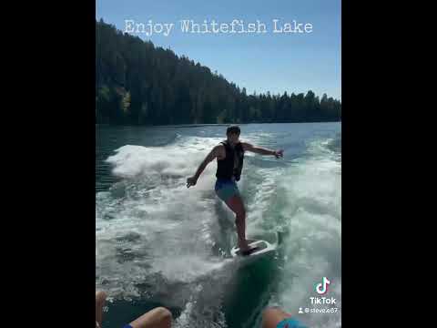
THINGS TO DO · YOUTUBE SHORT
A Whitefish-area travel Short shared by javbrod, including a side trip to Glacier National Park. The park is outside Whitefish.
Watch on YouTube ↗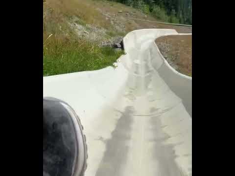
THINGS TO DO · YOUTUBE SHORT
A recorded alpine-slide visit at Whitefish Mountain Resort, shared by Best Life Adventure Channel. Check seasonal operation directly with the resort.
Watch on YouTube ↗Tally Lake Campground (USDA Forest Service), about 11 miles west of Whitefish as the crow flies. Next are Big Creek Campground (Flathead National Forest, MT) (14 mi) and Star Meadows Guard Station (17 mi).
Federal agencies including USDA Forest Service, Bureau of Land Management, National Park Service. Each listing links to its official page for hours, fees, closures and current conditions.